
The growing impacts of climate change from extreme weather to land degradation and wildfires are placing increasing pressure on Ireland’s agricultural sector. Now more than ever, decision-makers, landowners, and public agencies need accurate, timely, and scalable data to monitor land use, assess risks, and plan effective responses.
At Compass Informatics, we utilise Earth Observation (EO) and Geographic Information Systems (GIS) to meet these challenges transforming satellite imagery and geospatial data into meaningful insights for sustainable land management.

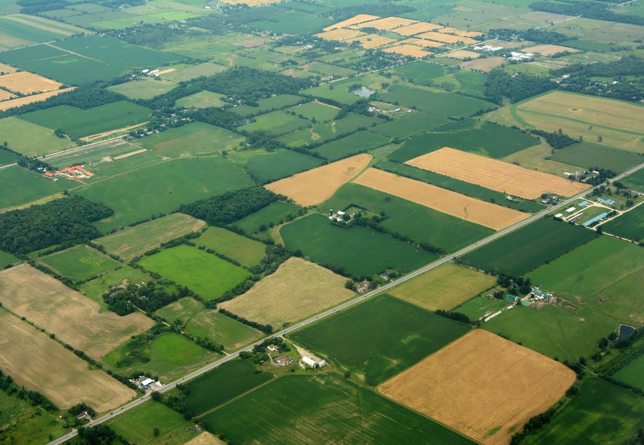
Supporting Agriculture Through EO
Our EO solutions, built using freely available satellite data such as Copernicus Sentinel-1 and Sentinel-2, are designed to help monitor land condition, detect change, and ensure compliance with evolving policy requirements.
From crop monitoring to soil health analysis and grassland activity tracking, these tools provide consistent, objective evidence to support stakeholders across the public and private sectors.
Our Area Monitoring System (AMS) for DAFM
A key example of our EO capabilities is the Area Monitoring System (AMS), developed for Ireland’s Department of Agriculture, Food and the Marine (DAFM). This system uses EO imagery and machine learning models to monitor agricultural land across Ireland. It delivers:
- Near real-time crop and land use classification
- Detection of farming activity (e.g. mowing, ploughing)
- Integration with national land parcel databases
- User-friendly dashboards for evidence-based decision-making
The AMS showcases how EO can modernise regulatory monitoring and support Ireland’s shift to a more transparent, digital-first agricultural framework.
Understanding Copernicus Satellite Imagery
The European Union’s flagship initiative, the Copernicus Programme for Earth monitoring, provides open-access satellite data through its Sentinel satellite constellation, delivering continuous, high-resolution imagery of Earth’s land, atmosphere, and oceans.
For agricultural and land-based applications, two key satellites stand out:
Sentinel-1 – Radar Imaging for All-Weather Monitoring
Sentinel-1 uses Synthetic Aperture Radar (SAR) to capture surface data regardless of cloud cover or lighting conditions, making it ideal for Ireland’s variable weather. It is especially valuable for:
- Detecting land movement or soil moisture changes
- Monitoring ploughing and mowing activities
- Identifying flooded or waterlogged areas
Sentinel-2 – Multispectral Optical Imaging
Sentinel-2 provides high-resolution multispectral imagery in 13 bands, capturing detailed information about vegetation health, soil conditions, and land use. It enables:
- Crop type classification and condition assessment
- Detection of burned areas and post-fire recovery
- Vegetation indices (e.g.NDVI) for grassland monitoring
- Seasonal tracking of land cover changes
Together, these data sources allow Compass Informatics to develop timely, scalable, and cost-effective solutions that translate raw satellite data into actionable intelligence. Whether it’s supporting compliance with CAP regulations, assessing wildfire damage, or planning replanting efforts, Copernicus imagery forms a vital foundation for our geospatial workflows.
As we face growing climate challenges, the ability to see, measure, and respond to change at landscape scale is no longer optional—it’s essential.
Use Case:
Assessing the Wildfires in Roscommon and Wexford
Earlier this year, wildfires in Roscommon and Wexford impacted boglands, forestry, and local communities. In Roscommon, fire crews from three counties battled fast-spreading blazes in dry bogland near Gortaganny. In Wexford, a large-scale fire on Tara Hill required coordination between fire services, the Irish Air Corps, Coillte, local farmers, and volunteers.
These incidents underscore the growing wildfire risk in Ireland and the need for tools that support rapid response, damage assessment, and land recovery.
Applying Our Solutions to Risk Events
Although we did not work directly on these wildfire events, they highlight the kind of scenarios where EO and GIS can play a critical role. Our solutions can be applied to:
- Map burned areas using Sentinel-2 and VHR imagery
- Assess extent and severity of land and vegetation damage
- Support replanting and restoration efforts
- Monitor long-term land recovery and identify at-risk zones
These same methods are applicable for assessing flood damage, drought stress, or overgrazing supporting more resilient land management and climate adaptation strategies across Ireland.

- Carbon Emissions: Fires release large amounts of carbon dioxide (CO2) into the atmosphere. Though Sentinel-2 doesn’t directly measure carbon levels, changes in vegetation health can indicate areas of significant vegetation loss. The resulting carbon emissions can be inferred from the extent of burned land. The level of carbon concentration, in the imagery of the Gortganny fire is depicted as heavy dark areas on maps, indicating high CO2 levels due to the fire.
- Air Quality and Smoke: Fires also release particulate matter (PM) and other pollutants. The imagery and data collected from the Gortganny fire shows the extent of smoke plumes, affecting air quality, especially in nearby regions. This is crucial for assessing the health impacts of fires and the dispersion of pollutants over large areas.

- Fire Detection: Sentinel-2’s multispectral optical imagery identifies burned areas by capturing changes in vegetation health and colour, particularly in the near-infrared spectrum. Post-fire, the vegetation is often scorched, which shows up as distinct darker colour changes in the imagery as display in the above imagery. The highlighted area clearly shows the significant impact of the fire, with visible damage to the land’s vegetation.
- Fire Intensity: The thermal infrared data from other sources, like Sentinel-3, can detect active heat sources and help assess fire intensity and spread.
Being able to monitor land like this means moving from reactive crisis management to proactive, data-driven stewardship. It’s about giving everyone involved in land management, from the farmer on the ground to government agencies – the “eyes in the sky” they need to protect Ireland’s valuable agricultural landscape and natural resources in the face of growing environmental pressures.
This means everything from monitoring overall growth or moisture levels to help prevent wildfires by identifying areas with dry debris build-up, to assessing flood damage, drought stress, or overgrazing. Ultimately, our aim is to foster a more resilient Ireland, where our land and agricultural sector are safeguarded for the long term.
Building a Smarter, More Resilient Landscape
At Compass Informatics, we believe EO and GIS are vital to the future of agricultural monitoring in Ireland. Our scalable solutions enable public bodies, planners, and land managers to make data-informed decisions with confidence.
Whether you’re looking to:
- Improve compliance monitoring
- Gain insight into changing land conditions
- Mitigate environmental risks
- Plan for long-term sustainability
Get in Touch
If your organisation is exploring how satellite data, GIS analytics, or digital land monitoring tools can support your mission, the Compass Informatics team is ready to help.