

Identify Environmental Risks Before They Impact Rail Operations
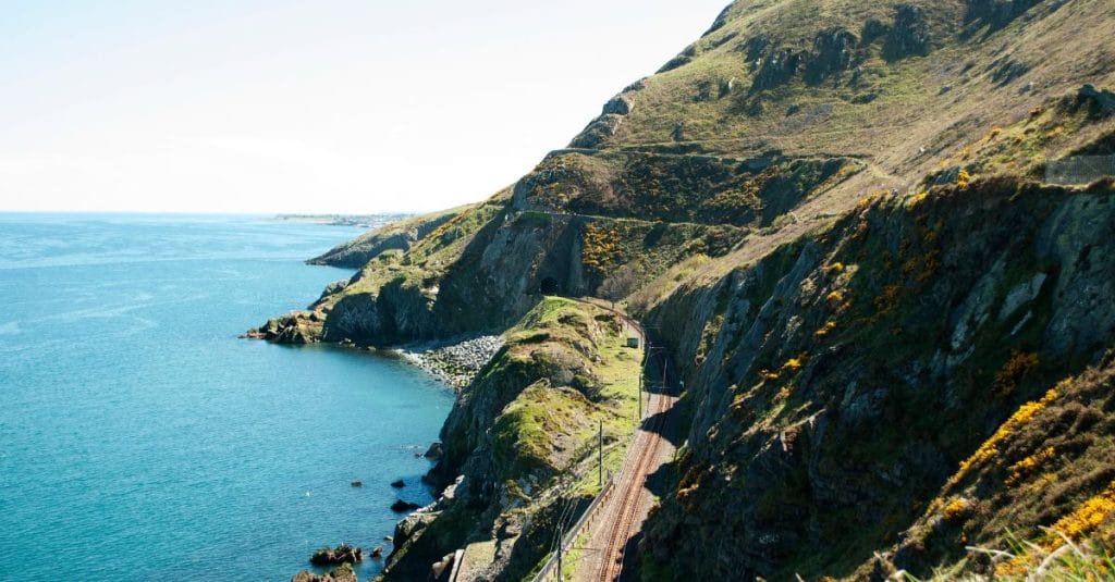
Rail infrastructure doesn’t exist in isolation. It sits within a living, changing landscape, where flooding, vegetation growth, slope instability, drainage issues and changing ground conditions can all affect the safety, resilience and performance of the network.
As Ireland enters a significant period of infrastructure investment, the ability to understand what is happening across these landscapes, and how it could impact infrastructure is becoming increasingly important.
Land Management Systems, supported by GIS, Earth Observation and accurate asset information, can provide the digital foundation for better decision-making.
From monitoring to understanding risk
Many environmental risks develop gradually. Vegetation can encroach on infrastructure, drainage can deteriorate, and changes in rainfall or ground conditions can increase the risk of flooding, erosion or slope instability.
Integrating Earth Observation with a Land Management System can help organisations monitor these changes at scale and understand them in the context of their assets and wider environment.
This can help answer important questions:
- Where are conditions changing?
- Which assets could be affected?
- Where should inspections be prioritised?
- Where might preventative action be required?
The aim isn’t to replace engineering inspections or specialist assessments, but to provide better intelligence to help focus resources where they are needed most.
Creating a connected view of land and assets
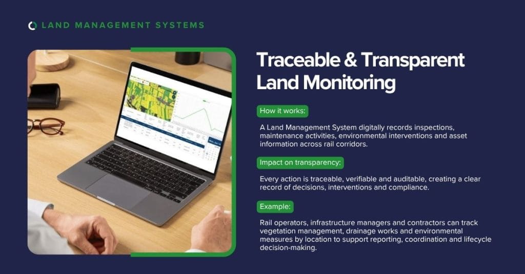
A Land Management System can bring together information that is often held across multiple systems, including:
- Asset and infrastructure data
- Land and property information
- Environmental constraints
- Flood and hydrological data
- Terrain and elevation
- Vegetation and land cover
- Inspection and maintenance records
- Earth Observation data
Connecting these datasets spatially creates a more complete picture of the environment surrounding critical infrastructure.
For rail, this can support everything from day-to-day monitoring and inspection planning to climate adaptation, environmental reporting and longer-term investment decisions.
Ireland’s infrastructure ambitions
The scale of Ireland’s planned infrastructure investment creates an opportunity to put better digital information at the heart of project delivery. Programmes such as the All-Island Strategic Rail Review highlight the ambition for a more connected, resilient and sustainable rail network across the island of Ireland, while wider national investment programmes under Project Ireland 2040 will continue to shape the future of transport and infrastructure delivery.
For rail operators, infrastructure managers and delivery partners, having a reliable GIS and asset information layer can support planning, environmental assessment, inspection workflows, reporting and lifecycle asset management.
It can also strengthen the digital approach to major infrastructure programmes by providing a consistent source of spatial, land and asset information that can be used across teams and throughout the project lifecycle, from early planning and design through to delivery, handover and ongoing asset management.
Supporting infrastructure from data to delivery
Compass Informatics can support organisations across the infrastructure lifecycle, from GIS and spatial data management through to Land Management Systems, asset information, field data collection, environmental intelligence and reporting.
For rail providers and contractors, this capability can help improve inspection workflows, strengthen land and asset visibility, support information management and provide a stronger digital foundation for project delivery.
There is also an opportunity to bring these capabilities into the early stages of infrastructure programmes, helping organisations build digital capability into their delivery approach rather than treating spatial and asset information as an afterthought.
The wider Tracsis Group
As part of the Tracsis Group, Compass Informatics also has access to a wider ecosystem of transport technology, data and industry expertise.
This is particularly relevant to rail, where Tracsis brings extensive experience across areas including rail operations, planning, asset management, transport data, analytics and decision support.
For clients, partners and infrastructure delivery organisations, this creates the opportunity to combine Compass’ expertise in GIS, land and environmental information with a broader suite of specialist transport capabilities.
The result is a more connected approach, bringing together the land, asset, environmental and transport intelligence needed to support increasingly complex infrastructure programmes.
A digital foundation for resilient infrastructure
The future of infrastructure resilience isn’t just about responding to environmental change, it’s about understanding it early enough to plan for it.
By combining Land Management Systems, GIS, asset information and Earth Observation with wider transport expertise through the Tracsis Group, Compass Informatics can help organisations develop a clearer understanding of their land, assets and environmental risks.
Better geospatial intelligence means better infrastructure decisions, and a stronger foundation for Ireland’s infrastructure future.
Contact Compass Informatics today to discuss your data strategy and discover how mapping and analytics can unlock the power in your legacy data.