The Spatial Analysis & GIS influence
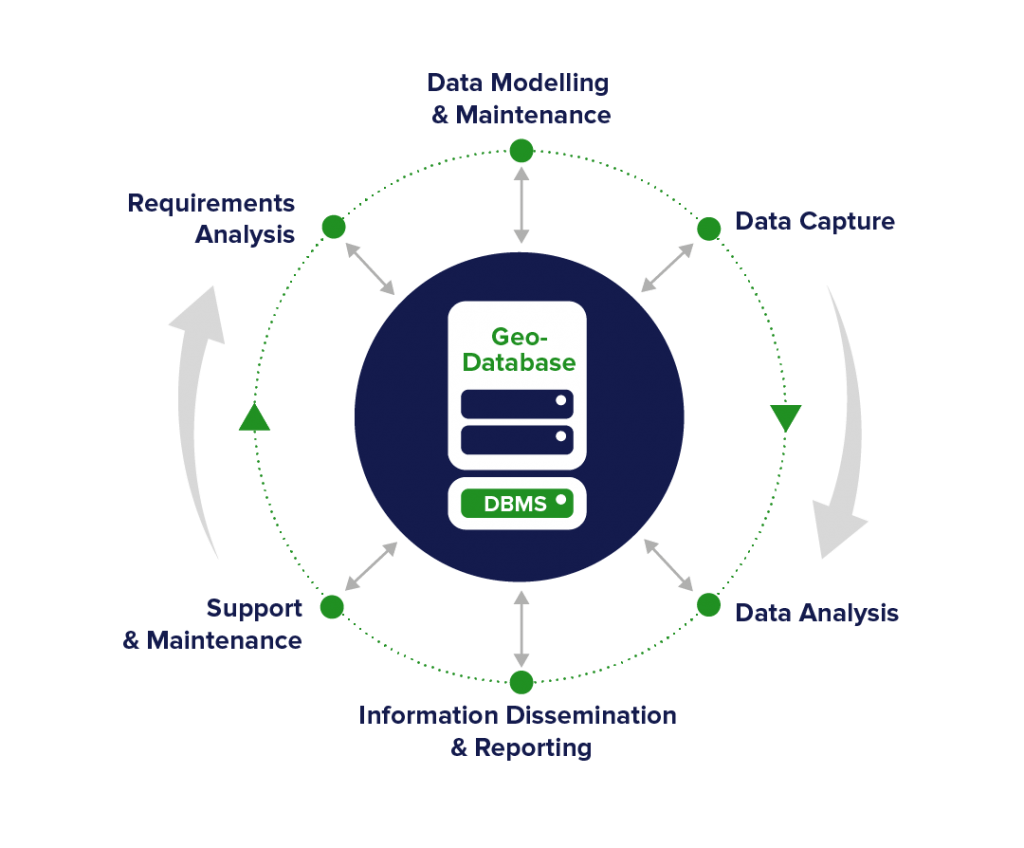
The location tag in data allows us to map, manage, view, analyse and share in ways that facilitate evidence-based decision-making. At Compass, we are GIS experts of over 20 years standing. We leverage this extensive experience, coupled with our ICT expertise, to seamlessly integrate spatial information systems or GIS into our systems – be they desktop GIS for analysis, mobile apps for data capture, or web systems for business workflows. We adopt the best-fit technology – be it Esri ArcGIS, open-source or other alternatives.
The location tag in data is exceptionally powerful, allowing new insights and efficient and effective ways of sharing information, especially when coupled with dashboards, reports and statistical methods.
Compass makes extensive use of GPS and spatial analysis code as a technology component in many of our technology solutions. This is especially the case in our mobile apps suite that are used to assess, map and manage assets – be it road surfaces or biodiversity records.


