HubCAP

HubCAP is a new solution from Compass Informatics (formerly of Icon Geo) and is supported by InCubed, a programme of, and funded by, ESA, the European Space Agency.

We are mindful of the emerging needs from ELMS/CAP and have developed an open source “Hands-Free Monitoring” platform for integration with existing workflow.

Our Objective


The objective is to align with a new paradigm in Land Cover and Use determination, using the use of satellite imagery that has been enabled by the move from an artisanal process to an automated workflow-based provision of information.

This will free up trained and capable technicians to provide analysis and information, rather than just simple image-based products making the end user experience easier and more tailor-made.

HubCAP is a robust and simple platform through which Government Agencies (especially CAP, non-CAP Paying Agencies and Environmental Agencies) and commercial users may access the benefits of Sentinel data in a fully supported, legally recorded and compliant manner.

These customers are always in constant need of custom land monitoring as Europe has a wind range of types of lands and therefore different monitoring needs.

The HubCAP Service


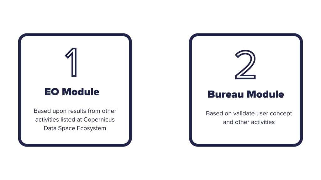
The HubCAP service consists of two modules with an integrated platform to execute and visualise agricultural markers.


HubCAP

Some examples of our work