
Waterline – Environmental Protection Agency
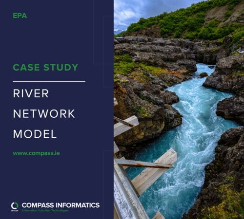
The EPA Waterline project was initiated to address the limitations of the river network layer used by the EPA for river flow and catchment analysis.
The EPA Waterline project was initiated to address the limitations of the river network layer used by the EPA for river flow and catchment analysis.
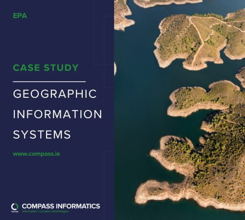
GIS, Earth Observation and web mapping technologies are used widely across the EPA to gather, manage, analyse and publish geo-environmental information.