
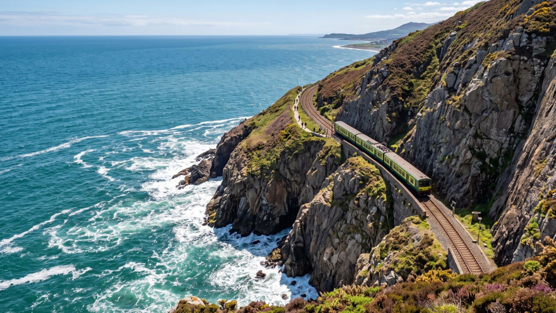
Protecting Rail Corridors from Coastal Erosion and Changing Land Conditions
Ireland’s coastline stretches for thousands of kilometres, and approximately 20% of it is at risk of coastal erosion, according to the EPA.
Rail infrastructure doesn’t exist in isolation, it sits within living, changing landscape and the stability of that landscape affects embankment integrity, drainage performance, vegetation behaviour and long-term climate risk. Where track, cuttings, sea walls and drainage run close to the shoreline, erosion becomes a direct operational risk, from loss of formation support to undermined defences, speed restrictions and costly emergency works.
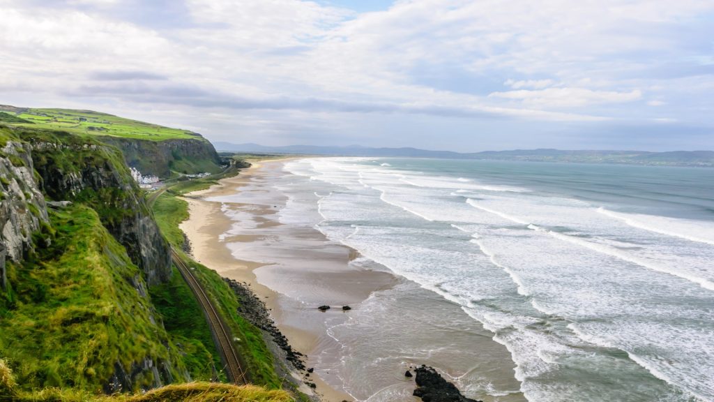
Reactive monitoring and disconnected data
On many networks, the picture will be familiar. Heavy rainfall or a storm is forecast, drainage teams are stretched, and embankments on certain routes are already on a watch-list. Precautionary speed restrictions go in, and inspections are reactive and resource-intensive.
- Asset records in asset management systems, organised by line, chainage and asset ID
- Survey data such as LiDAR, UAV imagery, topographic and GNSS surveys, in different formats, coordinate systems and years
- Inspection records for earthworks, structures and sea defences, often on paper or in spreadsheets
- Environmental data, including tide gauges, storm records, geology, soils and habitat designations
- Land and consent information, such as ownership, land use obligations and environmental constraints
Without a common spatial framework, it is hard to answer the questions that matter. Which embankments have shown gradual movement over the last 12 months? How far is the shoreline from the formation, and is the gap closing? Where should the next inspection or investment go?
Proven in land management, built around your corridor
Our Land Management System is a flexible geospatial platform designed to monitor, manage and analyse land at scale. It has been deployed across agriculture, environmental monitoring and public sector land governance, where understanding land condition, land use change and environmental risk is critical. Applied to rail, the same capabilities give operators a deeper understanding of the landscape their infrastructure depends on.
Every network has different assets, standards and ways of working. We configure the system to your data structures, referencing methods, inspection regimes and reporting requirements, and we can help integrate your existing survey and asset datasets.
Creating a connected view of land and assets
A Land Management System can bring together information that is often held across multiple systems, including:
- Asset and infrastructure data
- Land and property information
- Environmental constraints
- Flood and hydrological data
- Terrain and elevation
- Vegetation and land cover
- Inspection and maintenance records
- Earth Observation data
What this means in practice
For rail operators and asset managers
The system helps you focus inspections and maintenance on the sections that are actually changing, rather than relying on fixed schedules alone. Emerging problems can be identified earlier, when interventions are cheaper and less disruptive. It also gives you structured oversight of land ownership, land use obligations and environmental constraints, with clear audit trails for compliance and reporting.
For transport engineers
Engineers can work from consistent, comparable survey data across different dates and contractors. This makes it easier to assess the long-term performance of sea walls, revetments and slope protection, and to justify targeted interventions with objective, spatially grounded evidence.
For planners of new or upgraded corridors
Coastal, slope and drainage hazards can be identified at route selection and design stages, so appropriate setbacks and resilience measures are based on local evidence. Clear spatial data also supports consenting and environmental processes.
For strategic and climate adaptation planning
The system tracks environmental trends over time, not just individual events, which supports climate adaptation planning, ESG reporting and capital investment justification. A shared dataset also improves collaboration between engineering and environmental teams.
How the system works
A structured spatial framework
A spatial database holds your corridor assets and monitoring data together. Assets are referenced by chainage, so every survey and inspection ties to an exact location. Each dataset is stored with its date, source and accuracy, and transformed into a consistent coordinate system, so surveys from different years and contractors can be compared directly.
Earth observation and multi-source data capture
The system brings together the data you already collect with new sources:
- Satellite and aerial imagery for wide-area coverage of long corridors
- UAV and LiDAR surveys for detailed embankment, cliff and dune profiles
- GNSS and total station surveys for precise control
- Mobile inspections, with location, asset ID and timestamp attached automatically
- Soils, geology, hydrology and tidal data for context
Time-series analysis, vegetation and bare soil monitoring
Because every dataset is dated and spatially referenced, the system shows trends rather than isolated events. Vegetation levels and bare soil are tracked over time using satellite-derived indices, so engineers can see where growth is increasing along the track and near drainage assets, and where ground is becoming exposed on embankments and cuttings. The same analysis picks up gradual ground movement and shifts in land cover.
Shoreline change analysis
Shorelines are extracted automatically from satellite imagery and compared along regularly spaced transects. This produces net shoreline movement, average rate of change and a regression trend across the full image archive, with tidal state accounted for. It gives a consistent, repeatable way to monitor corridors at scale, with higher-resolution surveys available to verify critical locations.
Linking erosion and land condition to the railway
Because shorelines and rail assets share one database, the system calculates the distance from the shoreline to track, formation, sea wall or embankment toe, and tracks how that distance changes. It also relates each section to slopes, drainage, land use, vegetation, soils and surface water.
Risk modelling
Multi-criteria analysis combines these layers, each with an agreed weighting, to rank corridor sections by risk. Projecting observed change forward gives indicative estimates, which can be combined with sea level and storm scenarios. These are planning indicators to support engineering judgement, not predictions.
Thresholds, alerts and workflows
Set trigger values, such as a minimum shoreline-to-track distance. When data crosses a threshold, the system flags the location and can start an inspection request, work order or engineer review, with every action logged for audit.
Dashboards, reporting and integration
Web maps and dashboards give engineering, environmental and planning teams one shared view. Standard web services and APIs connect to your GIS, asset management and design tools, turning land data into actionable intelligence.
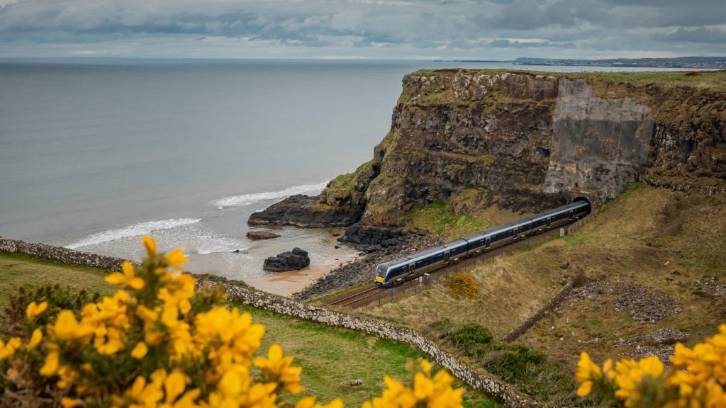
Supporting infrastructure from data to delivery
Compass Informatics can support organisations across the infrastructure lifecycle, from GIS and spatial data management through to Land Management Systems, asset information, field data collection, environmental intelligence and reporting.
For rail providers and contractors, this capability can help improve inspection workflows, strengthen land and asset visibility, support information management and provide a stronger digital foundation for project delivery.
There is also an opportunity to bring these capabilities into the early stages of infrastructure programmes, helping organisations build digital capability into their delivery approach rather than treating spatial and asset information as an afterthought.
The Wider Tracsis Group
As part of the Tracsis Group, Compass Informatics also has access to a wider ecosystem of transport technology, data and industry expertise.
This is particularly relevant to rail, where Tracsis brings extensive experience across areas including rail operations, planning, asset management, transport data, analytics and decision support.
For clients, partners and infrastructure delivery organisations, this creates the opportunity to combine Compass’ expertise in GIS, land and environmental information with a broader suite of specialist transport capabilities.
The result is a more connected approach, bringing together the land, asset, environmental and transport intelligence needed to support increasingly complex infrastructure programmes.
Contact Compass Informatics today to discuss your data strategy and discover how mapping and analytics can unlock the power in your legacy data.