

Area Monitoring System (AMS) – DAFM
Based on the DAFM workflows required an Area Monitoring System (AMS) to monitor and assess agricultural activities.
Based on the DAFM workflows required an Area Monitoring System (AMS) to monitor and assess agricultural activities.

Built in partnership with Dublin City Council, the Rate My Service platform uses open source data to provide a multimodal transit app for the Dublin City area.

Compass Informatics develop mobile application survey tools for the Local Government Management Agency (LGMA) which was part of a long term strategy.

Welsh Water required a Bio-Solids Management solution that could be configured to interface with their existing solution.

The MapRoad PMS project involved the development and implementation of an advanced road pavement management solution.
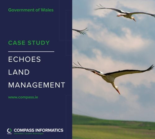
The ECHOES project aimed to study the impact of climate change on bird habitats in the Irish Sea region, with a focus on mudflats and estuaries.

The EPA Waterline project was initiated to address the limitations of the river network layer used by the EPA for river flow and catchment analysis.
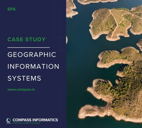
GIS, Earth Observation and web mapping technologies are used widely across the EPA to gather, manage, analyse and publish geo-environmental information.
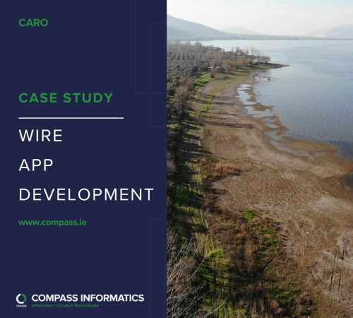
The Weather Impacts Register (WIRE) is a location based mobile App developed on behalf of CARO, the local government office for the coordination of local government activities related to climate impact in Ireland.

As part of their on-going Mobile Improvement Programme, Uisce Éireann faced the challenge of efficiently distributing complex network mapping to mobile users in remote areas.