

Geospatial Analysis – EU AMBER Project
The AMBER project seeks to analyse and assess the barriers to stream connectivity across the EU.
Delve into our case studies and uncover the power of data-driven insights, as we demonstrate how Compass Informatics formed solutions to deliver transformative results across many industries.
The AMBER project seeks to analyse and assess the barriers to stream connectivity across the EU.

The MapRoad PMS project involved the development and implementation of an advanced road pavement management solution.
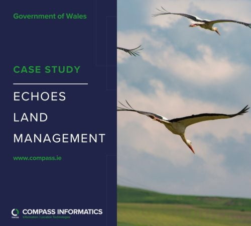
The ECHOES project aimed to study the impact of climate change on bird habitats in the Irish Sea region, with a focus on mudflats and estuaries.

The EPA Waterline project was initiated to address the limitations of the river network layer used by the EPA for river flow and catchment analysis.
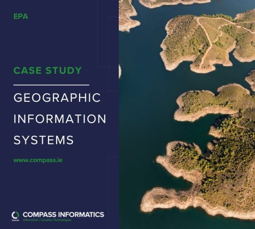
GIS, Earth Observation and web mapping technologies are used widely across the EPA to gather, manage, analyse and publish geo-environmental information.
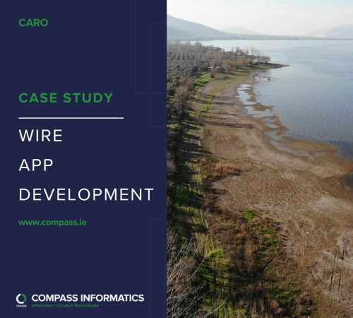
The Weather Impacts Register (WIRE) is a location based mobile App developed on behalf of CARO, the local government office for the coordination of local government activities related to climate impact in Ireland.

As part of their on-going Mobile Improvement Programme, Uisce Éireann faced the challenge of efficiently distributing complex network mapping to mobile users in remote areas.

The NTA are one of the most extensive users of GIS Services and Location Technologies in Ireland and have worked with Compass Informatics a number of times in recent years.

Compass was engaged with Pobal in November 2022 to upgrade of their GIS Environment and modernise the Pobal Maps Solution.
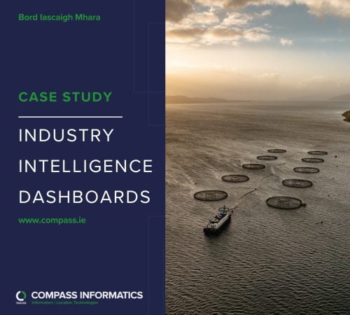
Bord Iascaigh Mhara (BIM) is the government agency responsible for the Irish seafood industry and required a solution which would allow them to provide industry clients with insight to the data they collect and manage.